About us
We Are The Leader In
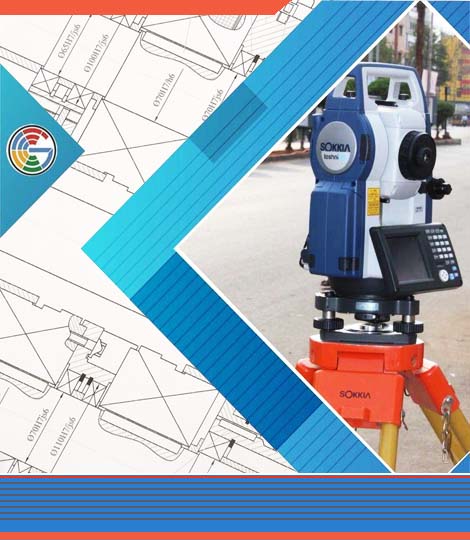
Planning & Surveys
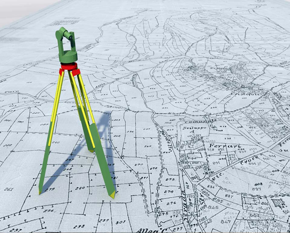
1. Land Survey: This involves the precise measurement and mapping of the features of a land area. Land surveyors use specialized equipment to determine boundaries, elevations, and dimensions of land parcels for various purposes such as property sales, construction projects, and land development.
2. DGPS Survey (Differential Global Positioning System Survey): DGPS surveys utilize GPS technology to provide highly accurate positioning data for mapping and surveying applications. By using correction signals from a network of reference stations, DGPS can significantly enhance the accuracy of standard GPS positioning, making it suitable for precise surveying tasks.
3. Hydrographic Survey: Hydrographic surveys are conducted to map and study the physical features of bodies of water such as oceans, rivers, and lakes. These surveys provide essential data for navigation, coastal engineering, resource exploration, and environmental monitoring. Hydrographic surveyors use specialized equipment like echo sounders, sonar systems, and GPS to measure water depths, map underwater terrain, and identify submerged hazards.
4. Dredging Survey: Dredging surveys are carried out to plan and monitor dredging operations, which involve the removal of sediment and debris from the bottom of water bodies to maintain navigable waterways, deepen channels, or reclaim land. Dredging surveyors assess the volume of material to be dredged, monitor dredging progress, and ensure compliance with environmental regulations.
5. Earthwork Quantities**: Earthwork quantity surveys involve the measurement and calculation of volumes of earth and other materials (such as rock, sand, and soil) moved during construction projects like road building, excavation, and landscaping. Accurate quantity estimation is essential for project planning, budgeting, and resource management.
6. Conceptual Plans of Aquaculture Farms, Processing Plants, Feed Mills, Breeding Brood Stocks, Hatcheries, Residential Buildings, etc.: Conceptual planning involves the initial stage of design where ideas and concepts are developed into preliminary plans. For aquaculture farms, processing plants, feed mills, breeding brood stocks, hatcheries, residential buildings, and other facilities, conceptual planning includes determining site layout, infrastructure requirements, building design, equipment placement, and workflow organization based on project objectives, site conditions, and regulatory considerations.
Professionals involved in these areas may include land surveyors, hydrographic surveyors, civil engineers, architects, environmental consultants, and project managers, among others. They utilize various techniques, technologies, and software tools to perform surveys, analyze data, and develop conceptual plans tailored to the specific needs and requirements of each project
Why We Expert in
The Market
- Architectural Plans
- Conceptual Plans
- Topographic Survey
- GEO Base Maps